
Rishi Ganga topographic map
Interactive map
Click on the map to display elevation.
About this map
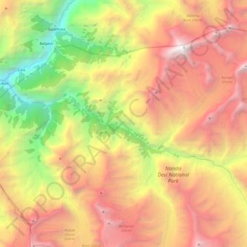
Name: Rishi Ganga topographic map, elevation, terrain.
Location: Rishi Ganga, Reni, Joshimath, Chamoli, Uttarakhand, India (30.41480 79.69057 30.48797 79.93213)
Average elevation: 4,508 m
Minimum elevation: 1,939 m
Maximum elevation: 7,020 m