
Lhas topographic map
Interactive map
Click on the map to display elevation.
About this map
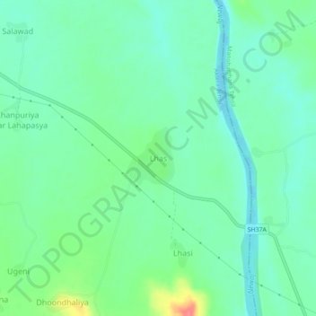
Name: Lhas topographic map, elevation, terrain.
Location: Lhas, Aklera Tehsil, Jhalawar, Rajasthan, India (24.36310 76.62496 24.40310 76.66496)
Average elevation: 321 m
Minimum elevation: 301 m
Maximum elevation: 372 m