
Vaibhavwadi topographic map
Interactive map
Click on the map to display elevation.
About this map
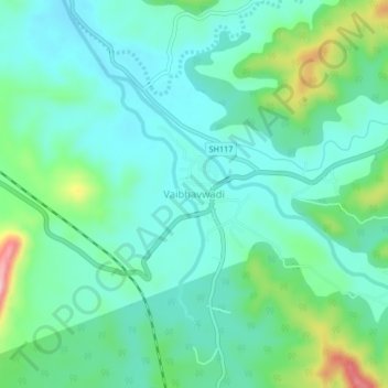
Name: Vaibhavwadi topographic map, elevation, terrain.
Location: Vaibhavwadi, Sindhudurg District, Maharashtra, 416810, India (16.47862 73.72405 16.51862 73.76405)
Average elevation: 82 m
Minimum elevation: 37 m
Maximum elevation: 224 m