
Balotra topographic map
Interactive map
Click on the map to display elevation.
About this map
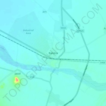
Name: Balotra topographic map, elevation, terrain.
Average elevation: 114 m
Minimum elevation: 105 m
Maximum elevation: 205 m
Balotra is located at 25°50′N 72°14′E / 25.83°N 72.23°E / 25.83; 72.23. It has an average elevation of 106 metres (347 feet).
Other topographic maps
Click on a map to view its topography, its elevation and its terrain.
Haliyan
India > Rajasthan > Pachpadra Tehsil
Haliyan, Pachpadra Tehsil, Barmer District, Rajasthan, India
Average elevation: 165 m