
manjaly davis ,vendore owned pond topographic map
Interactive map
Click on the map to display elevation.
About this map
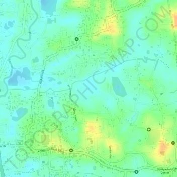
Name: manjaly davis ,vendore owned pond topographic map, elevation, terrain.
Average elevation: 13 m
Minimum elevation: -1 m
Maximum elevation: 34 m