
Manfara topographic map
Interactive map
Click on the map to display elevation.
About this map
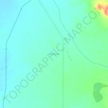
Name: Manfara topographic map, elevation, terrain.
Location: Manfara, Bhachau Taluka, Kachchh, Gujarat, 370140, India (23.46383 70.32900 23.50383 70.36900)
Average elevation: 40 m
Minimum elevation: 26 m
Maximum elevation: 92 m