
Chandil topographic map
Interactive map
Click on the map to display elevation.
About this map
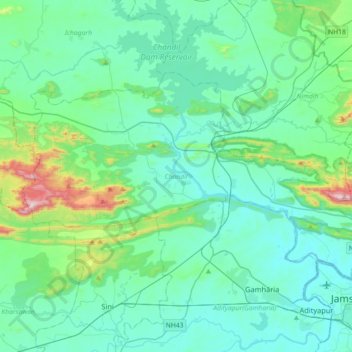
Name: Chandil topographic map, elevation, terrain.
Location: Chandil, Seraikela Kharsawan, Jharkhand, 832400, India (22.81833 85.85815 23.01366 86.21753)
Average elevation: 223 m
Minimum elevation: 120 m
Maximum elevation: 786 m