
Patharkata topographic map
Interactive map
Click on the map to display elevation.
About this map
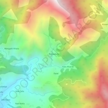
Name: Patharkata topographic map, elevation, terrain.
Location: Patharkata, Maithan, Gairsain, Chamoli, Uttarakhand, India (29.97578 79.42186 30.01578 79.46186)
Average elevation: 1,755 m
Minimum elevation: 1,168 m
Maximum elevation: 2,556 m