
Kolhu topographic map
Interactive map
Click on the map to display elevation.
About this map
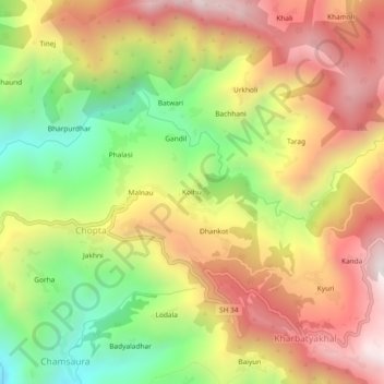
Name: Kolhu topographic map, elevation, terrain.
Location: Kolhu, Chopta, Rudraprayag, 246421, India (30.33536 79.03488 30.37536 79.07488)
Average elevation: 1,594 m
Minimum elevation: 1,024 m
Maximum elevation: 2,122 m