
Madugula topographic map
Interactive map
Click on the map to display elevation.
About this map
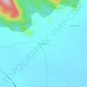
Name: Madugula topographic map, elevation, terrain.
Location: Madugula, Anakapalli, Andhra Pradesh, 531027, India (17.89553 82.79455 17.93553 82.83455)
Average elevation: 111 m
Minimum elevation: 62 m
Maximum elevation: 494 m