
Ingur topographic map
Interactive map
Click on the map to display elevation.
About this map
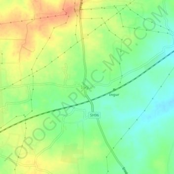
Name: Ingur topographic map, elevation, terrain.
Location: Ingur, Perundurai, Erode District, Tamil Nadu, 638051, India (11.20621 77.56095 11.24621 77.60095)
Average elevation: 287 m
Minimum elevation: 266 m
Maximum elevation: 309 m