
Neravada topographic map
Interactive map
Click on the map to display elevation.
About this map
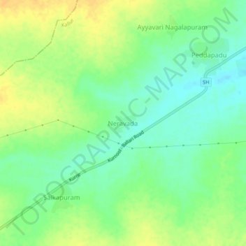
Name: Neravada topographic map, elevation, terrain.
Location: Neravada, Kallur, Kurnool, Andhra Pradesh, India (15.77606 77.94621 15.81606 77.98621)
Average elevation: 300 m
Minimum elevation: 287 m
Maximum elevation: 314 m