
Nimblak topographic map
Interactive map
Click on the map to display elevation.
About this map
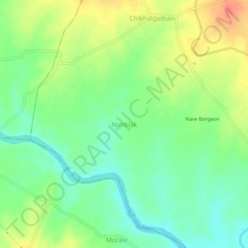
Name: Nimblak topographic map, elevation, terrain.
Location: Nimblak, Tasgaon, Sangli district, Maharashtra, India (17.11868 74.48728 17.15868 74.52728)
Average elevation: 595 m
Minimum elevation: 572 m
Maximum elevation: 626 m