
Korathota topographic map
Interactive map
Click on the map to display elevation.
About this map
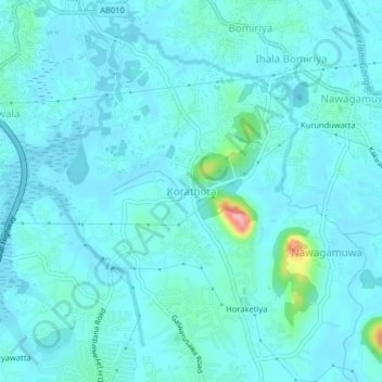
Name: Korathota topographic map, elevation, terrain.
Location: Korathota, Colombo District, Western Province, 10640, Sri Lanka (6.89454 79.98103 6.93454 80.02103)
Average elevation: 16 m
Minimum elevation: 2 m
Maximum elevation: 122 m