
Banstead topographic map
Interactive map
Click on the map to display elevation.
About this map
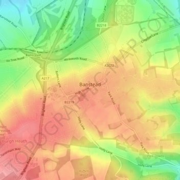
Name: Banstead topographic map, elevation, terrain.
Location: Banstead, Surrey, South East England, England, United Kingdom (51.31248 -0.23363 51.33331 -0.18608)
Average elevation: 142 m
Minimum elevation: 88 m
Maximum elevation: 180 m