
Kuttampuzha topographic map
Interactive map
Click on the map to display elevation.
About this map
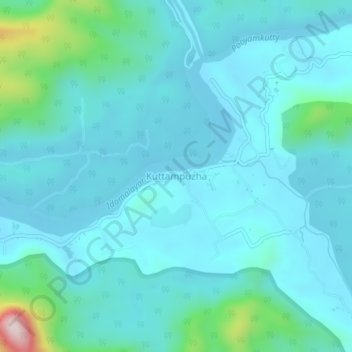
Name: Kuttampuzha topographic map, elevation, terrain.
Location: Kuttampuzha, Kothamangalam, Ernakulam district, Kerala, India (10.13116 76.71389 10.17116 76.75389)
Average elevation: 94 m
Minimum elevation: 30 m
Maximum elevation: 509 m