
Rajaneli topographic map
Interactive map
Click on the map to display elevation.
About this map
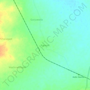
Name: Rajaneli topographic map, elevation, terrain.
Location: Rajaneli, Kohir mandal, Sangareddy, Telangana, India (17.60237 77.67683 17.64237 77.71683)
Average elevation: 629 m
Minimum elevation: 616 m
Maximum elevation: 651 m