
Kanina Khas topographic map
Interactive map
Click on the map to display elevation.
About this map
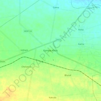
Name: Kanina Khas topographic map, elevation, terrain.
Location: Kanina Khas, Mahendragarh, Haryana, 123302, India (28.29025 76.26914 28.37025 76.34914)
Average elevation: 253 m
Minimum elevation: 242 m
Maximum elevation: 267 m