
Mucherla topographic map
Interactive map
Click on the map to display elevation.
About this map
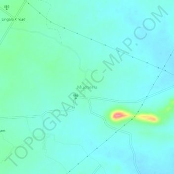
Name: Mucherla topographic map, elevation, terrain.
Location: Mucherla, Kamepally mandal, Khammam, Telangana, 507122, India (17.37921 80.24697 17.41921 80.28697)
Average elevation: 153 m
Minimum elevation: 138 m
Maximum elevation: 228 m