
Ranipur topographic map
Interactive map
Click on the map to display elevation.
About this map
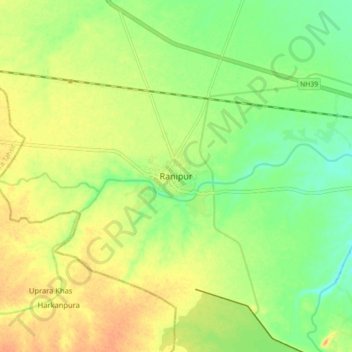
Name: Ranipur topographic map, elevation, terrain.
Location: Ranipur, Jhānsi, Jhansi, Uttar Pradesh, India (25.21124 79.02309 25.29124 79.10309)
Average elevation: 219 m
Minimum elevation: 199 m
Maximum elevation: 237 m