
Bangaram Island topographic map
Interactive map
Click on the map to display elevation.
About this map
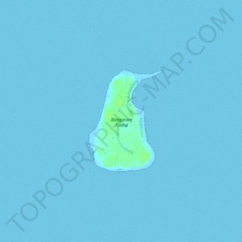
Name: Bangaram Island topographic map, elevation, terrain.
Location: Bangaram Island, Lakshadweep, India (10.93490 72.28317 10.94620 72.29188)
Average elevation: 0 m
Minimum elevation: 0 m
Maximum elevation: 10 m
Other topographic maps
Click on a map to view its topography, its elevation and its terrain.
Minicoy
Minicoy, Lakshadweep District, Lakshadweep, 682559, India
Average elevation: 1 m
Kavaratti Island
India > Lakshadweep > Kavaratti > Kavaratti
Kavaratti Island, Kavaratti, Lakshadweep, 262240, India
Average elevation: 2 m