
Arangala topographic map
Interactive map
Click on the map to display elevation.
About this map
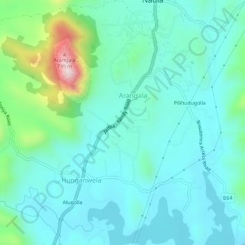
Name: Arangala topographic map, elevation, terrain.
Location: Arangala, Matale District, Central Province, Sri Lanka (7.66699 80.62812 7.70699 80.66812)
Average elevation: 332 m
Minimum elevation: 235 m
Maximum elevation: 737 m