
Begur topographic map
Interactive map
Click on the map to display elevation.
About this map
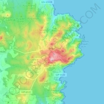
Name: Begur topographic map, elevation, terrain.
Location: Begur, Lower Empordà, Girona, Catalonia, 17213, Spain (41.92231 3.15527 41.98173 3.23404)
Average elevation: 77 m
Minimum elevation: -1 m
Maximum elevation: 311 m