
Midway Island topographic map
Interactive map
Click on the map to display elevation.
About this map
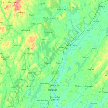
Name: Midway Island topographic map, elevation, terrain.
Location: Midway Island, Kennebec County, Maine, USA (44.17812 -70.09949 44.81812 -69.45949)
Average elevation: 107 m
Minimum elevation: -1 m
Maximum elevation: 637 m
Other topographic maps
Click on a map to view its topography, its elevation and its terrain.