
El Ksar topographic map
Interactive map
Click on the map to display elevation.
About this map
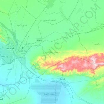
Name: El Ksar topographic map, elevation, terrain.
Location: El Ksar, Gafsa, Tunisie (34.32209 8.71785 34.50209 9.05531)
Average elevation: 380 m
Minimum elevation: 217 m
Maximum elevation: 1,161 m
Other topographic maps
Click on a map to view its topography, its elevation and its terrain.