
Netarhat topographic map
Interactive map
Click on the map to display elevation.
About this map
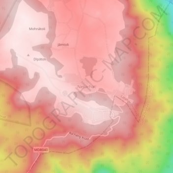
Name: Netarhat topographic map, elevation, terrain.
Location: Netarhat, Mahuadanr, Latehar, Jharkhand, 835218, India (23.45460 84.24776 23.49460 84.28776)
Average elevation: 1,033 m
Minimum elevation: 697 m
Maximum elevation: 1,132 m