
Nithari topographic map
Interactive map
Click on the map to display elevation.
About this map
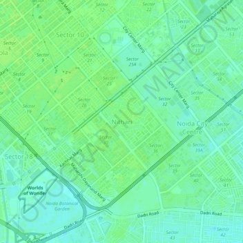
Name: Nithari topographic map, elevation, terrain.
Location: Nithari, Ghaziabad, Uttar Pradesh, 11008, India (28.55621 77.32222 28.59621 77.36222)
Average elevation: 203 m
Minimum elevation: 197 m
Maximum elevation: 206 m