
Green Bay topographic map
Interactive map
Click on the map to display elevation.
About this map
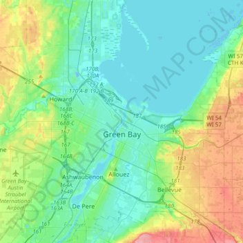
Name: Green Bay topographic map, elevation, terrain.
Location: Green Bay, Brown County, Wisconsin, United States (44.47179 -88.13982 44.57469 -87.84117)
Average elevation: 199 m
Minimum elevation: 175 m
Maximum elevation: 270 m