
South Koel River topographic map
Interactive map
Click on the map to display elevation.
About this map
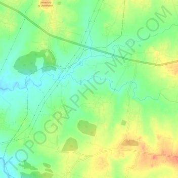
Name: South Koel River topographic map, elevation, terrain.
Location: South Koel River, Ranchi, Jharkhand, 835205, India (23.41127 85.13301 23.42132 85.19089)
Average elevation: 697 m
Minimum elevation: 676 m
Maximum elevation: 723 m
Other topographic maps
Click on a map to view its topography, its elevation and its terrain.