
Godagama topographic map
Interactive map
Click on the map to display elevation.
About this map
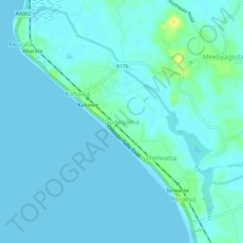
Name: Godagama topographic map, elevation, terrain.
Location: Godagama, Galle District, Southern Province, Sri Lanka (6.15940 80.05968 6.19940 80.09968)
Average elevation: 4 m
Minimum elevation: -1 m
Maximum elevation: 23 m