
Pathri topographic map
Interactive map
Click on the map to display elevation.
About this map
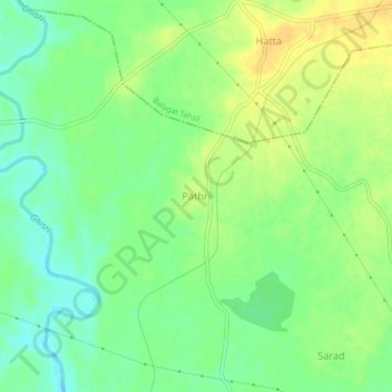
Name: Pathri topographic map, elevation, terrain.
Location: Pathri, Balagat Tahsil, Balaghat, Madhya Pradesh, India (21.68736 80.24613 21.72736 80.28613)
Average elevation: 295 m
Minimum elevation: 281 m
Maximum elevation: 308 m