
Beulah topographic map
Interactive map
Click on the map to display elevation.
About this map
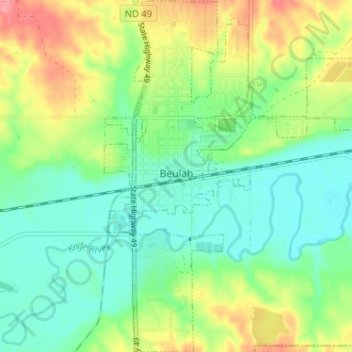
Name: Beulah topographic map, elevation, terrain.
Location: Beulah, Mercer County, North Dakota, United States (47.24124 -101.79111 47.28471 -101.74025)
Average elevation: 562 m
Minimum elevation: 533 m
Maximum elevation: 614 m