
Thevur topographic map
Interactive map
Click on the map to display elevation.
About this map
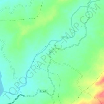
Name: Thevur topographic map, elevation, terrain.
Location: Thevur, Salem district, Tamil Nadu, India (11.50669 77.73411 11.54669 77.77411)
Average elevation: 186 m
Minimum elevation: 165 m
Maximum elevation: 232 m