
Hembygdsparken topographic map
Interactive map
Click on the map to display elevation.
About this map
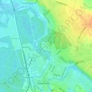
Name: Hembygdsparken topographic map, elevation, terrain.
Average elevation: 12 m
Minimum elevation: -2 m
Maximum elevation: 35 m
Other topographic maps
Click on a map to view its topography, its elevation and its terrain.
Ängelholm
Sweden > Skåne County > Ängelholm
Ängelholm, Skåne County, Region Götaland, 262 32, Sweden
Average elevation: 12 m