
Naila topographic map
Interactive map
Click on the map to display elevation.
About this map
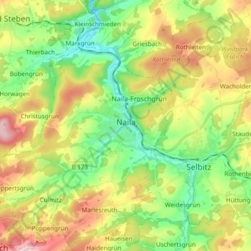
Name: Naila topographic map, elevation, terrain.
Location: Naila, Landkreis Hof, Upper Franconia, Bavaria, 95119, Germany (50.28421 11.62567 50.37247 11.74208)
Average elevation: 581 m
Minimum elevation: 479 m
Maximum elevation: 733 m