
Infopark topographic map
Interactive map
Click on the map to display elevation.
About this map
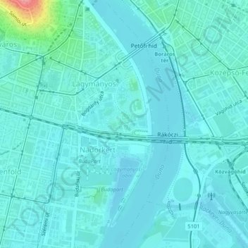
Name: Infopark topographic map, elevation, terrain.
Location: Infopark, 11th district, Budapest, Central Hungary, Hungary (47.46864 19.05605 47.47202 19.06273)
Average elevation: 109 m
Minimum elevation: 96 m
Maximum elevation: 197 m
Other topographic maps
Click on a map to view its topography, its elevation and its terrain.
Gellérthegy
Gellérthegy, 11th district, Budapest, Central Hungary, Hungary
Average elevation: 130 m
21st district
21st district, Budapest, Central Hungary, Hungary
Average elevation: 110 m