
Las Flechas topographic map
Interactive map
Click on the map to display elevation.
About this map
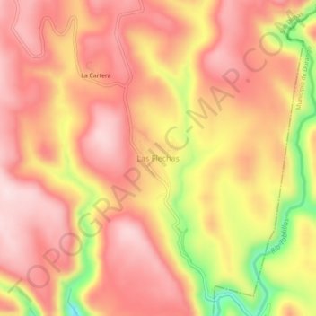
Name: Las Flechas topographic map, elevation, terrain.
Location: Las Flechas, San Dimas, Durango, México (24.07513 -105.52502 24.11513 -105.48502)
Average elevation: 2,253 m
Minimum elevation: 2,030 m
Maximum elevation: 2,360 m