
Wang topographic map
Interactive map
Click on the map to display elevation.
About this map
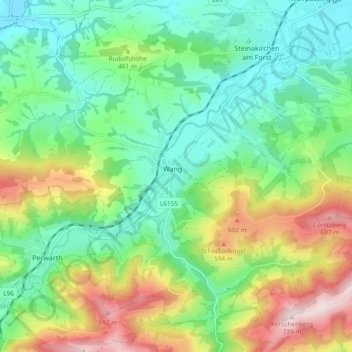
Name: Wang topographic map, elevation, terrain.
Location: Wang, Bezirk Scheibbs, Niederösterreich, 3262, Österreich (48.01711 14.96478 48.07350 15.05882)
Average elevation: 426 m
Minimum elevation: 276 m
Maximum elevation: 724 m