
Punnam topographic map
Interactive map
Click on the map to display elevation.
About this map
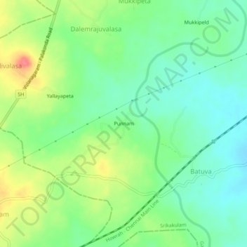
Name: Punnam topographic map, elevation, terrain.
Location: Punnam, Srikakulam, Andhra Pradesh, India (18.32967 83.59276 18.36967 83.63276)
Average elevation: 101 m
Minimum elevation: 76 m
Maximum elevation: 145 m