
Sogandi topographic map
Interactive map
Click on the map to display elevation.
About this map
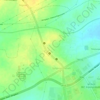
Name: Sogandi topographic map, elevation, terrain.
Average elevation: 74 m
Minimum elevation: 60 m
Maximum elevation: 85 m
Other topographic maps
Click on a map to view its topography, its elevation and its terrain.
Sunguvarchatram
India > Tamil Nadu > Sunguvarchatram
Sunguvarchatram, Thiruvallur district, Tamil Nadu, 602106, India
Average elevation: 71 m