
Bystrá topographic map
Interactive map
Click on the map to display elevation.
About this map
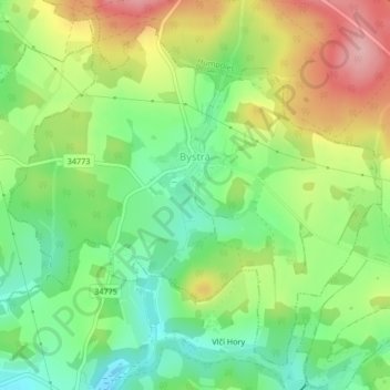
Name: Bystrá topographic map, elevation, terrain.
Location: Bystrá, Bezirk Pilgrams, Region Hochland, Südosten, Tschechien (49.49398 15.35123 49.51762 15.39107)
Average elevation: 579 m
Minimum elevation: 517 m
Maximum elevation: 666 m