
Keylong topographic map
Interactive map
Click on the map to display elevation.
About this map
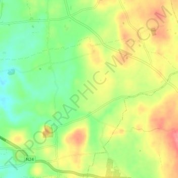
Name: Keylong topographic map, elevation, terrain.
Average elevation: 91 m
Minimum elevation: 57 m
Maximum elevation: 131 m
Other topographic maps
Click on a map to view its topography, its elevation and its terrain.
Mother Mountain
Mother Mountain, The Municipal District of Nenagh, County Tipperary, Munster, Ireland
Average elevation: 368 m