
Thane Creek topographic map
Interactive map
Click on the map to display elevation.
About this map
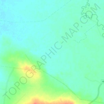
Name: Thane Creek topographic map, elevation, terrain.
Location: Thane Creek, Toowoomba, Queensland, Australia (-27.94455 151.58547 -27.90817 151.66002)
Average elevation: 407 m
Minimum elevation: 397 m
Maximum elevation: 440 m