
San Pedro Tenango topographic map
Interactive map
Click on the map to display elevation.
About this map
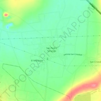
Name: San Pedro Tenango topographic map, elevation, terrain.
Location: San Pedro Tenango, Apaseo el Grande, Guanajuato, México (20.48706 -100.65269 20.52706 -100.61269)
Average elevation: 1,794 m
Minimum elevation: 1,765 m
Maximum elevation: 1,845 m