
Baroda topographic map
Interactive map
Click on the map to display elevation.
About this map
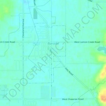
Name: Baroda topographic map, elevation, terrain.
Location: Baroda, Berrien County, Michigan, 49101, USA (41.94687 -86.49465 41.96221 -86.48009)
Average elevation: 197 m
Minimum elevation: 190 m
Maximum elevation: 222 m