
Mandangad topographic map
Interactive map
Click on the map to display elevation.
About this map
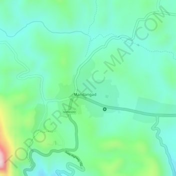
Name: Mandangad topographic map, elevation, terrain.
Location: Mandangad, Ratnagiri, Maharashtra, India (17.98509 73.25347 17.99436 73.26405)
Average elevation: 268 m
Minimum elevation: 185 m
Maximum elevation: 484 m