
Badagani Thanda topographic map
Interactive map
Click on the map to display elevation.
About this map
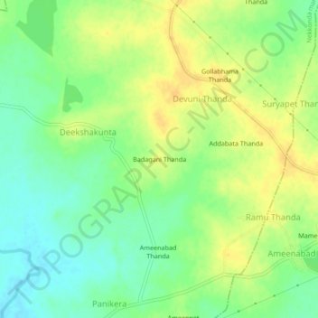
Name: Badagani Thanda topographic map, elevation, terrain.
Location: Badagani Thanda, Warangal Rural, Telangana, India (17.82568 79.80260 17.86568 79.84260)
Average elevation: 238 m
Minimum elevation: 224 m
Maximum elevation: 250 m