
Energie topographic map
Interactive map
Click on the map to display elevation.
About this map
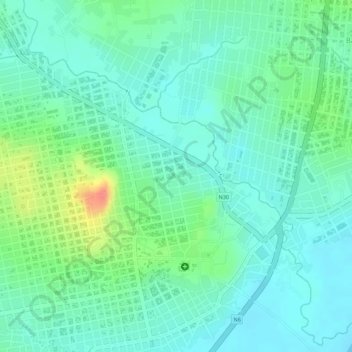
Name: Energie topographic map, elevation, terrain.
Location: Energie, Siguiri, Mandiana, Guinée (11.42023 -9.17286 11.43295 -9.16012)
Average elevation: 358 m
Minimum elevation: 338 m
Maximum elevation: 408 m