
Thamarakulam topographic map
Interactive map
Click on the map to display elevation.
About this map
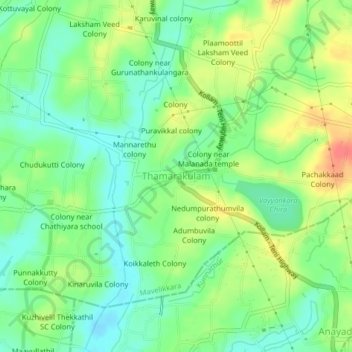
Name: Thamarakulam topographic map, elevation, terrain.
Average elevation: 22 m
Minimum elevation: -1 m
Maximum elevation: 54 m
Other topographic maps
Click on a map to view its topography, its elevation and its terrain.
Mavelikkara
India > Kerala > Mavelikkara
Mavelikkara, Alappuzha District, Kerala, 690101, India
Average elevation: 8 m