
Thank you for supporting this site ❤️
Make a donation
Make a donation
Wagholi topographic map
Click on the map to display elevation.
Thank you for supporting this site ❤️
Make a donation
Make a donation
About this map
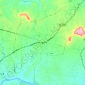
Name: Wagholi topographic map, elevation, terrain.
Location: Wagholi, Pune, Pune District, Maharashtra, 412207, India (18.54063 73.94331 18.62063 74.02331)
Average elevation: 578 m
Minimum elevation: 528 m
Maximum elevation: 710 m
Thank you for supporting this site ❤️
Make a donation
Make a donation
Other topographic maps
Click on a map to view its topography, its elevation and its terrain.